The Print tool allows you to print the current map to multiple formats.
There are 8 Format options:
- EPS
- GIF
- JPG
- PNG32
- PNG8
- SVG
- SVGZ
And 5 Layout options:
- Letter (8.5 x 11) Landscape
- Letter (8.5 x 11) Portrait
- MAP_ONLY
- Tabloid (11 x 17) Landscape
- Tabloid (11 x 17) Portrait
How to Use the Print Tool
- First, click on the print icon.
- Then enter a Title for the map and select the appropriate Layout and Format.
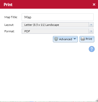
- Lastly, hit Print. The exact map that was on the screen when print was clicked will appear in the format and layout that was selected.