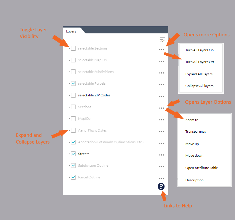
Layer List
To turn layers on or off, change a layer transparency, or see a symbol associated with a layer you will need to use the Layer List tool.
Layer List Visual Explanation

How to Use the Layer List
- Opening the Layer List will display the layers available.
- The ellipses on the right side of a layer shows more layer functions.
- Zoom to - Zooms the map to the extent of a layer
- Transparency - Sets the transparency of a layer
- Move up - Moves the layer up a level on the layer list
- Move down - Moves the layer down a level on the layer list
- Open Attribute Table - Display the attributes for the elements in the layer
- Description - opens the REST endpoint for the service
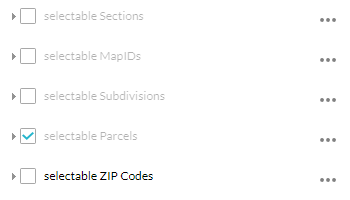
- For a layer to be selectable it must be checked in the Selectable Layers of the Layers tool.
- To easily turn on/off or expand/collapse all layers at the same time, the options at the top right of the layer list will do this.
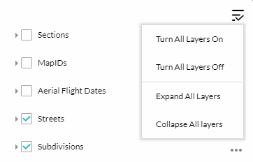
These 6 functions are: