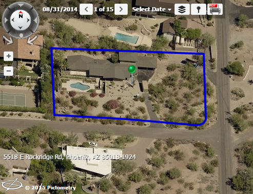
Pictometry
Pictometry allows you to view oblique aerial imagery for a selected parcel.
How to See Pictometry Imagery
- The first method is to click the Pictometry icon in the results window of the Search By tool.
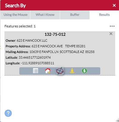
- The second method is to click the Pictometry icon in the Feature Information panel. The Feature Information panel is populated by simply clicking a feature or Search By result.
